Exploring the Charm of Brighton
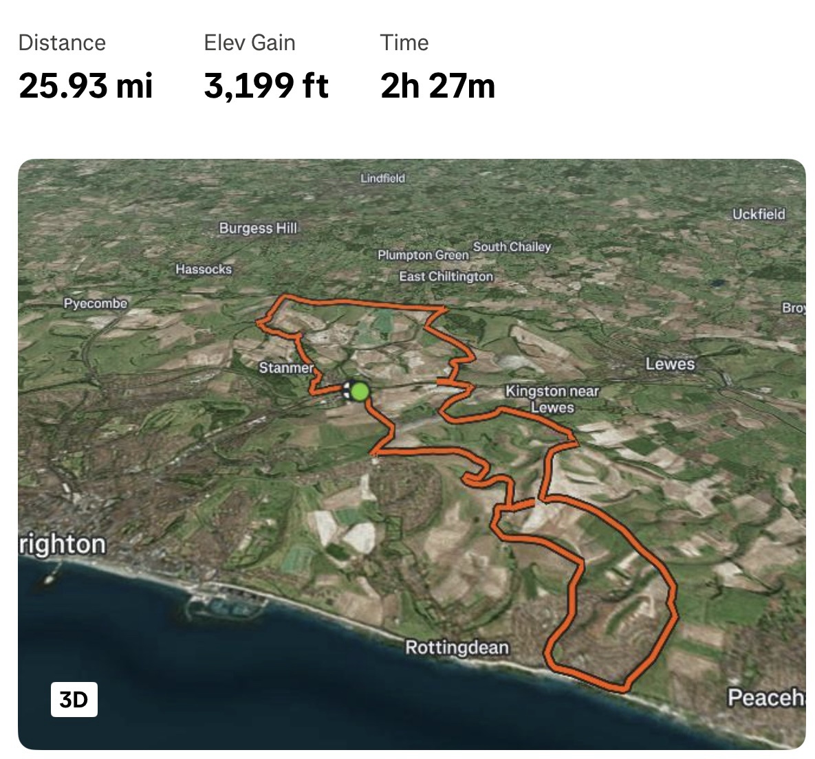
A fitness tracking map shows a 25.93-mile route with 3,199 feet of elevation gain and a 2h 27m duration, traced in orange over a rural coastal area. The route starts near Stanmer and loops around towns like Kingston near Lewes and Rottingdean, ending near Peacehaven. The map includes labels for locations such as Burgess Hill, Hassocks, and Uckfield, with a 3D toggle button visible in the bottom-left corner.
0
0
0
0
2025-03-04 05:04:27
See More Related Memes
Loading...
Comments
No comments yet. Be the first to comment!