A Glimpse into Boston's Original 1948 Elevated Highway Vision
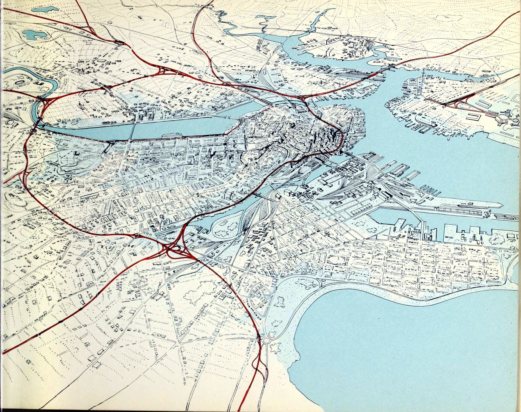
A vintage-style city map shows a dense urban area with numerous waterways and landmasses, overlaid with thick red lines that resemble highways or major roads crisscrossing the entire cityscape. The text 'the city is a highway' is superimposed over the image, suggesting the city's infrastructure is dominated by roadways. The map uses black ink for buildings and blue for water, with the red lines being the most prominent feature.
0
0
0
0
2025-03-07 03:53:50
See More Related Memes

Loading...
Comments
No comments yet. Be the first to comment!